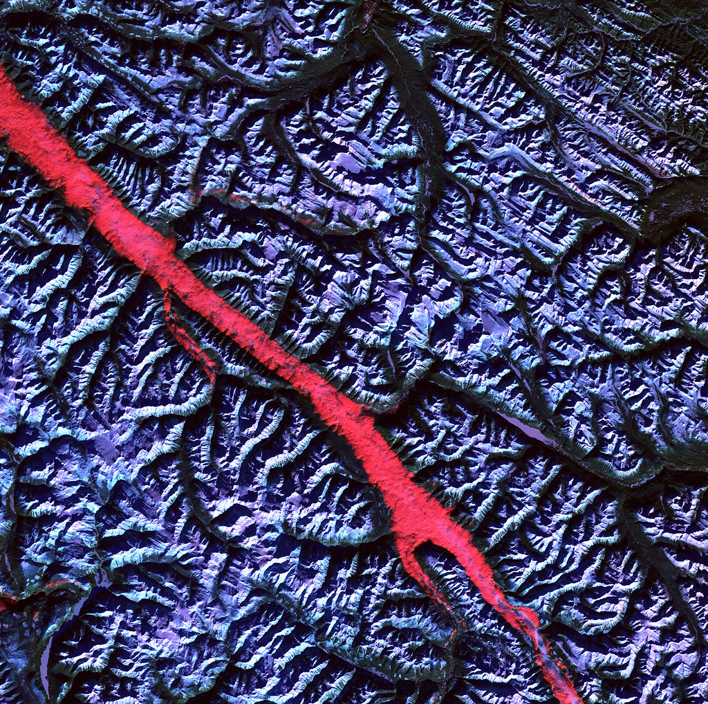
The high reflectance of clouds compared to the surrounding land, coupled with the low sun elevation when this image was acquired, causes low clouds to appear red as they fill a portion of the Rocky Mountain Trench. Running parallel with the peaks of the Canadian Rockies and ranging from 2 to 10 miles (3 to 16 kilometers) wide and about 900 miles (1,448 kilometers) long, the Trench aligns with the Fraser River and makes its way past Mount Robson, the highest peak in the Canadian Rockies at 12,972 feet (3,954 meters). Mount Robson is near the center of this image.
Credit: NASA/GSFC/Landsat/USGS, acquired February 2004
Related Posts